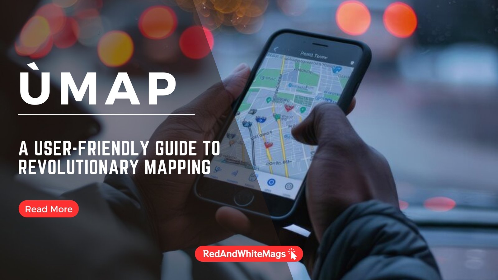
Ùmap: A User-Friendly Guide to Revolutionary Mapping
Introduction to Ùmap
In an age where digital transformation is revolutionizing every aspect of our lives, mapping tools have emerged as powerful instruments for navigating, visualizing, and analyzing geographical data. Among these tools, Ùmap stands out for its innovative approach and user-friendly design. Ùmap is not just a mapping tool; it’s a platform that democratizes cartography, making it accessible to everyone from seasoned cartographers to casual users. Whether you’re planning a trip, managing a project, or teaching geography, Ùmap offers a versatile solution that adapts to your needs.
Getting Started with Ùmap
Setting Up Your Ùmap Account
To begin your journey with Ùmap, you’ll first need to set up an account. Visit the Ùmap website and sign up using your email address or social media accounts. The registration process is straightforward and quick, ensuring you can start mapping within minutes.
Basic Navigation and Interface Overview
Once logged in, you’ll be greeted with a clean, intuitive interface designed to facilitate ease of use. The main dashboard provides access to your maps, a variety of tools, and customization options. Familiarizing yourself with the layout will help you make the most of what Ùmap has to offer.
Empowering Customization and Collaboration
Creating Your First Map
Creating a map on Ùmap is a simple yet powerful process. Click on “Create a New Map” and start by giving your map a title and description. You can then begin adding markers, lines, and polygons to represent various features and locations. The platform supports a variety of base maps, including satellite views and terrain maps, allowing you to choose the best background for your project.
Customizing Map Features and Aesthetics
Ùmap excels in customization, enabling you to tailor every aspect of your map. Choose from a range of colors, icons, and labels to make your map visually appealing and informative. Whether you’re highlighting tourist attractions or mapping out a hiking trail, the customization options help ensure your map meets your specific needs.
Real-Time Collaboration and Sharing
One of Ùmap’s standout features is its ability to support real-time collaboration. Invite colleagues, friends, or students to edit and contribute to your map. This collaborative feature is perfect for team projects, group travel planning, or educational activities. Sharing your map is equally easy; you can generate a shareable link or embed your map on a website or blog.
Seamless Data Integration
Importing Various Data Formats
A significant strength of Ùmap is its capacity for seamless data integration. The platform supports various data formats, including geojson, gpx, kml, and osm. This flexibility allows you to import existing data sets effortlessly. For instance, you can upload a GPX file from a hiking GPS device to visualize your trail on the map.
Integrating with OpenStreetMap
Ùmap’s integration with OpenStreetMap (OSM) is particularly valuable. OSM provides a vast, open-source repository of geographical data that you can incorporate into your maps. This integration ensures your maps are not only visually rich but also backed by accurate and up-to-date information.
Tips for Ensuring Data Accuracy
Accurate data is crucial for effective mapping. Ensure the data you import is current and correctly formatted. Regularly update your maps to reflect new information, and cross-verify with reliable sources when necessary. These practices help maintain the integrity and usefulness of your maps.
Read Also: Kingymab: Transforming Fitness with a Holistic and Dynamic Approach
Practical Applications of Ùmap
Urban Planning and Development
For urban planners and developers, Ùmap offers a robust tool for visualizing and analyzing spatial data. Create detailed maps that incorporate various data layers, such as zoning areas, infrastructure projects, and environmental restrictions. This comprehensive view aids in making informed decisions and planning sustainable urban development.
Environmental Conservation and Monitoring
Ùmap is a valuable asset for environmentalists and conservationists. Use it to track changes in ecosystems, monitor wildlife habitats, and plan conservation projects. The ability to share maps with a global audience helps raise awareness and coordinate efforts across different regions.
Enhancing Travel and Adventure Planning
Travelers and adventurers can greatly benefit from Ùmap. Plan your trips by marking points of interest, plotting routes, and adding notes and images. Sharing these maps with fellow travelers enhances the experience and fosters a sense of community among adventurers.
Educational Uses of Ùmap
Interactive Classroom Learning
Ùmap transforms static geography lessons into dynamic learning experiences. Educators can create interactive maps that depict historical events, geographical phenomena, or even literary journeys. This hands-on approach engages students and enhances their understanding of spatial relationships and historical contexts.
Project-Based Learning Activities
Encourage students to undertake project-based learning with Ùmap. Assign tasks such as mapping local community resources, analyzing environmental data, or studying urban development trends. These projects develop critical thinking and problem-solving skills while providing practical experience with geographical tools.
Promoting Global Awareness and Cultural Education
Mapping cultural landmarks, historical sites, and diverse ecosystems helps students develop a deeper appreciation for global diversity. Ùmap facilitates the creation of detailed, interactive maps that promote cultural education and foster a global perspective among learners.
Read Also: Peñiculs: A Holistic Approach to Well-Being
Advanced Features and Techniques
Layer Management for Clear Visualization
Effective layer management is crucial for creating clear and informative maps. Ùmap allows you to organize and toggle between different data layers. Highlight specific features or themes, such as transportation networks or population density, to enhance the clarity and focus of your map.
Enhancing Interactivity with Quizzes and Interactive Itineraries
Ùmap’s interactivity extends beyond basic mapping. Create educational quizzes that challenge users to identify locations or answer questions based on the map. Develop interactive itineraries for travel planning, providing detailed routes and points of interest that users can explore in-depth.
Leveraging Analytical Tools for Geospatial Insights
Ùmap includes analytical tools that help users derive meaningful insights from their data. Perform spatial analysis to identify trends, patterns, and relationships within your mapped data. These insights can inform decision-making in various fields, from urban planning to environmental conservation.
The Future of Ùmap and Open-Source Mapping
Community-Driven Development and Innovation
As an open-source platform, Ùmap thrives on community contributions. Developers and users continuously enhance the platform by adding new features, improving existing tools, and integrating additional data sources. This collaborative environment ensures Ùmap remains at the forefront of mapping technology.
Future Trends and Technological Advancements
Looking ahead, the integration of artificial intelligence and machine learning will revolutionize geospatial analysis. Expect more advanced features that offer predictive analytics, real-time data updates, and enhanced 3D visualization. These advancements will make Ùmap an even more powerful tool for users across various sectors.
Sustainability and Conservation Efforts
Ùmap is poised to play a significant role in global sustainability and conservation efforts. By facilitating the creation and sharing of detailed environmental maps, Ùmap helps track conservation projects, monitor ecological changes, and engage communities in sustainability initiatives.
Read Also: Rai Van: A Haven for Eco-Tourists and Nature Enthusiasts
Conclusion
Ùmap is more than a mapping tool; it’s a versatile platform that empowers users to explore, visualize, and share geographical data in innovative ways. Whether you’re an educator, urban planner, environmentalist, or traveler, Ùmap offers the tools you need to create meaningful maps that inform, engage, and inspire. Embrace the future of open-source mapping with Ùmap and discover new possibilities for geographical exploration and analysis.
FAQs
What does Ùmap stand for?
Ùmap doesn’t stand for a specific acronym but symbolizes a user-friendly, customizable mapping platform.
What can users do with Ùmap?
Users can create, customize, and share maps; import various data formats; collaborate in real-time; and use analytical tools for geospatial insights.
How is Ùmap revolutionizing the digital age?
Ùmap democratizes cartography by making advanced mapping tools accessible to everyone, fostering collaboration, and supporting a wide range of applications from education to environmental conservation.
Additional Resources and Learning Materials
For further information and tutorials on using Ùmap, visit the official Ùmap website or explore community forums and online courses dedicated to digital mapping and geospatial analysis.